Planning for a Flood Resilient Townsville
The possibility of flooding is part of Townsville life. Our city sits on a coastal floodplain and evidence shows our environment is changing in ways that could increase the likelihood and impact of future flooding.
Council’s role is to gather the best evidence to understand the risks, share information with the public and make the best possible decisions about how to maintain and enhance our city’s resilience.
We carry out research and build models to understand where flooding could happen and what the consequences of different events and circumstances might be. Based on this, we review and update our planning scheme (the Townsville City Plan) and other policies to provide the best possible guidance and protection for Townsville.
All of this is an ongoing process – we develop more accurate ways of measuring flooding, build better quality historic records over time, and utilise new and improved scientific research. Using all this, we can make more informed and better decisions about risk and our responses to it.
-
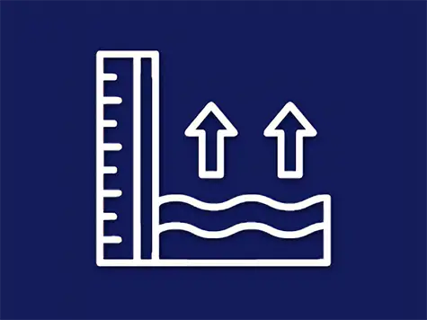
Flood Studies
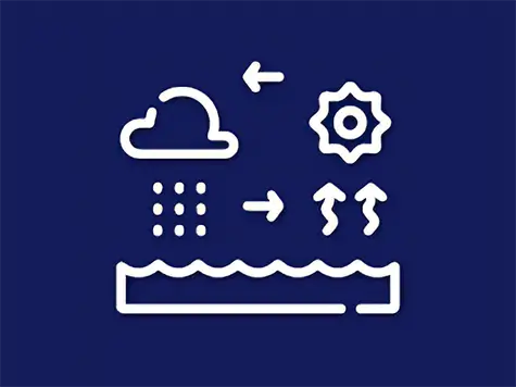
Flood studies help us understand how rainfall events are likely to affect flooding across the landscape. -
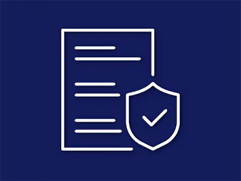
Floodplain Risk Assessment
Flood risk assessments determine the level of risk that flood hazards pose to people and property using the information that our flood studies provide. -

Flood Mapping
Our newest flood mapping includes both flood depth and flood risk maps, which you can explore using our flood information planning tool. -
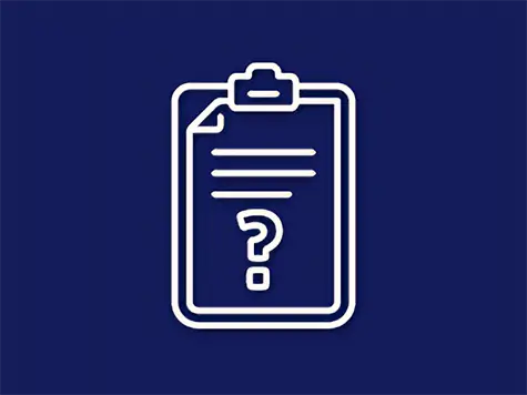
Flood Planning Q&A
Find the answers to your questions about flood planning, mapping and flood studies. -
Flood Risk Planning Policy Response
With all the work that we have done to understand flooding and flood risk in Townsville, we now need to use this info to plan for a more flood resilient city. -

Community Survey
Based on the modelling and the floodplain risk assessment, Council developed proposed ways to respond to flood risk in the Townsville City Plan – you can find out more and Have Your Say online. -
What's Next
In planning for a more resilient Townsville, our work is never done. Here is some of the other work that is coming. -

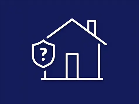
Flood Ready and Resilient
We understand that floods can happen now and we in the community need to be prepared for them protecting against flood risk as Townsville grows.