Mapping Services
Spatial Services works in partnerships with other Council departments and external clients to manage infrastructure and improve services.
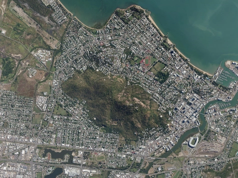
Council has recently undertaken a city-wide mobile mapping and floor level survey project for areas of Townsville between Bluewater and Alligator Creek.
The project will result in a digital 3D model that shows the city’s buildings and urban environment. Mapping will be undertaken on all business, industrial and residential properties, including apartment complexes and houses within the study area. The 3D model will be used to determine building floor levels.
The project has been jointly funded by the Queensland Government’s Local Government Flood Response Subsidy Program.
-
TownsvilleMAPS Mapping Service
We have a number of mapping services available – Community, Flooding, Townsville City Plan, and Local Government Infrastructure Plan (LGIP). -
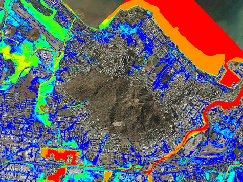
Flood Mapping Service
Information on flood maps, limitation and you can view our flood mapping modelling. -
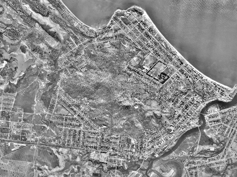
Aerial & Mapping Products for Purchase
Council's Spatial Services has a range of aerial and mapping products for purchase. -
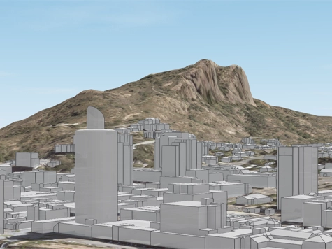
3D Mapping Model
A 3D Mapping Model Of Townsville’s Priority Infill Areas which covers Townsville’s CBD and inner city areas.

Horizon - Bangarra Dance Theatre
Step into a sacred realm between sea and sky when Bangarra Dance Theatre brings Horizon to Townsville for one night only. Book your tickets today at TicketShop.

Term 3 First 5 Forever Program
Something new is coming for our littlest library lovers. From the start of Term 3 (July - September), we’re refreshing our early years programs to bring you even more ways to talk, read, sing and play.
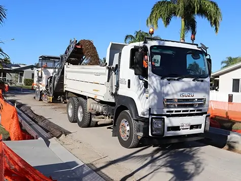
Kerbside Collection & Tip Vouchers Program
Eligible residential properties have the flexibility of choosing between one free kerbside hard waste collection or two free tip vouchers each financial year. Making your choice is easy, apply online at any time.
Capital Works Program
To keep Townsville growing, Council is actively involved in the delivery of projects to provide vital infrastructure and exciting development opportunities.

Wintergarden Festival of Music
Pack a picnic and rug and settle in on the lawns at Queens Gardens for the Wintergarden Festival of Music.