Paluma Dam
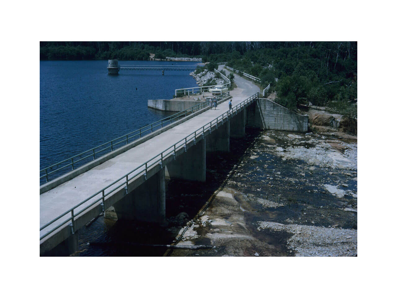
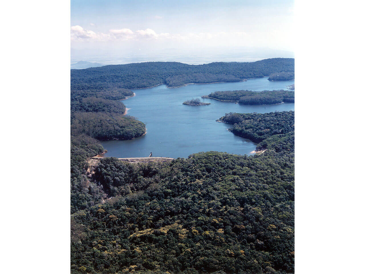
Paluma Dam is one of the two primary sources of water for Townsville.
About the Emergency Action Plan (EAP)
Townsville City Council have a legal obligation under the Queensland State Water Supply (Safety and Reliability) Act 2008 to have an Emergency Action Plan (EAP) for both Paluma and Ross River Dams.
Documents
You can view the Paluma Dam Emergency Action Plan in full detail below.
- Appendix A (redacted)
- B1 Inundation Maps for Probable Maximum Flood Including Dam Break and Sunny Day Failure
- B2 Depth Maps for Probable Maximum Flood Including Dam Break and Sunny Day Failure
- B3 Probable Maximum Flood Arrival Times Mapping
- B4 Sunny Day Failure Arrival Times Mapping
- B5 Flood Travel Times PMF Failure
- B6 Flood Travel Times Sunny Day Failure
- C1 Paluma Dam Normal Access Route
- C2 Paluma Dam Alternate Access Route
- C2 Catchment Map
- D1 Paluma Dam Rainfall Enveloped Curve
- D2 Paluma Dam Spillway Discharge
- D3 Paluma Dam Storage Curve
Paluma Dam History
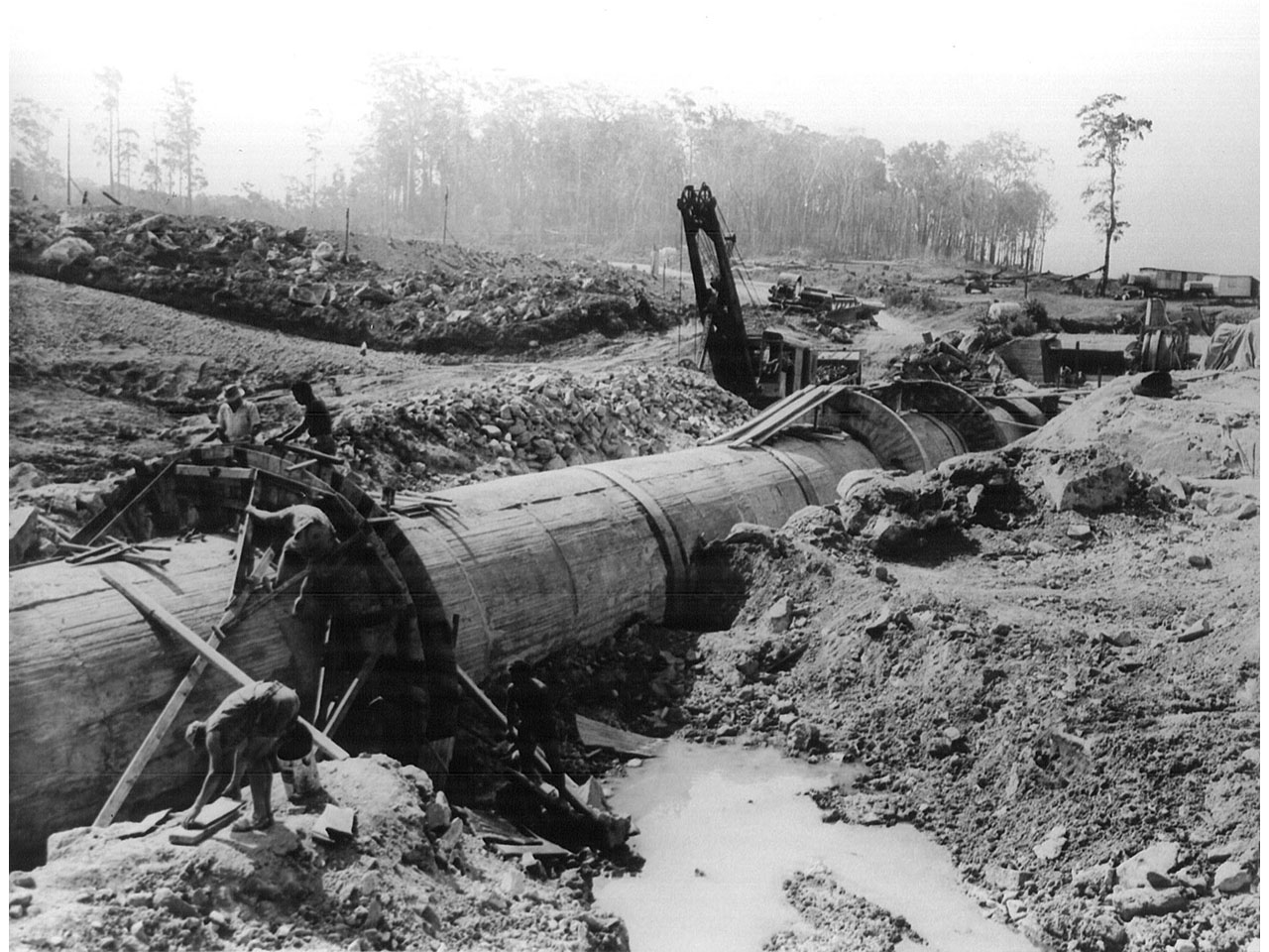
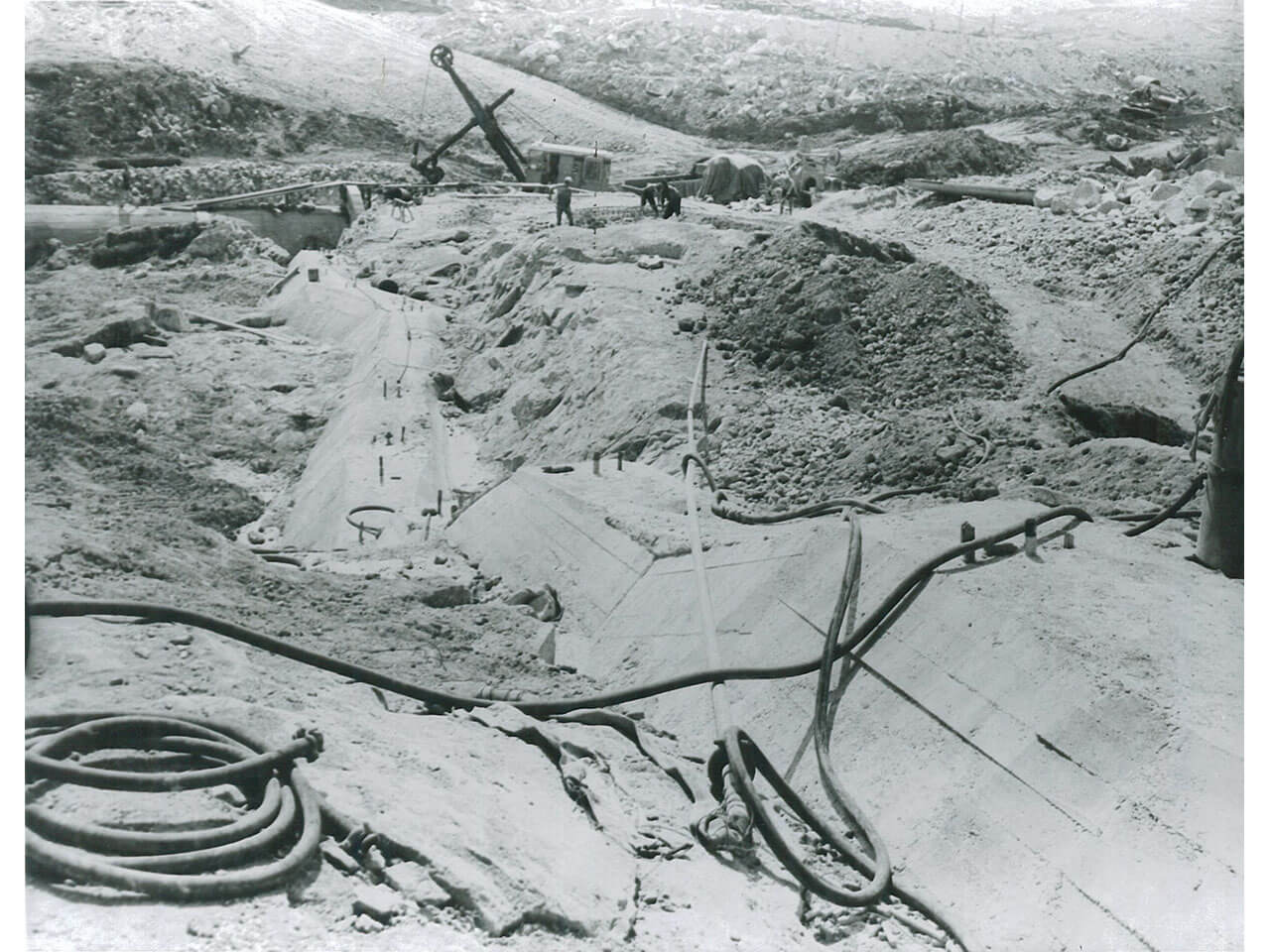
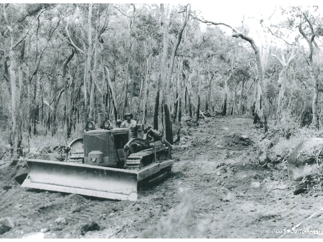
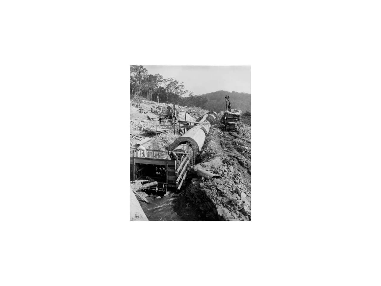
Paluma Dam was constructed between 1957 and 1958 on Swamp Creek as an integral component of the Mt. Spec water supply system.
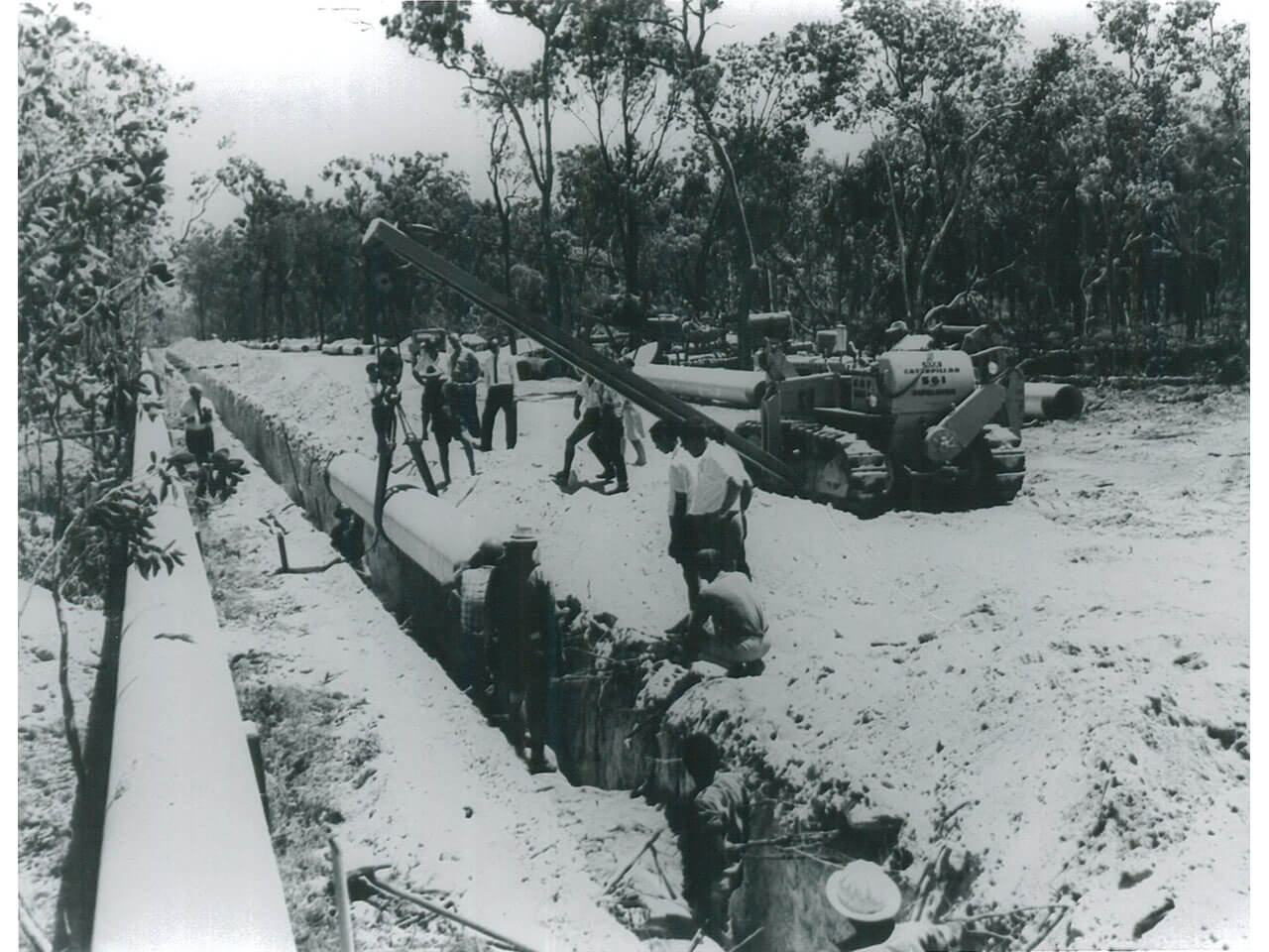
Paluma Dam is designed to supplement the natural runoff from the crystal creek catchment. A pipeline conveys water approximately 4km from the dam to a discharge point at Crystal Creek.
The water then flows via ‘run of river’ to the Crystal Creek Intake where it enters the Mt. Spec pipeline for treatment at the Northern Water Treatment Plant (NWTP).
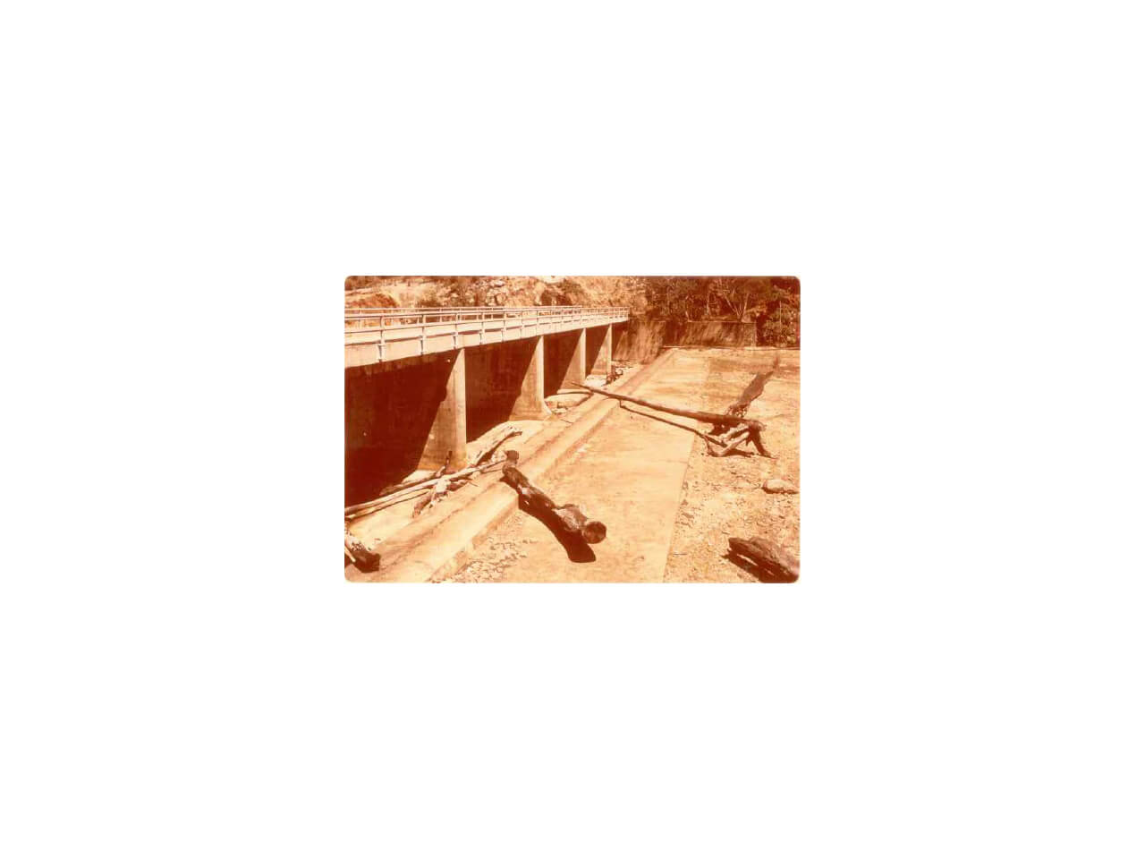
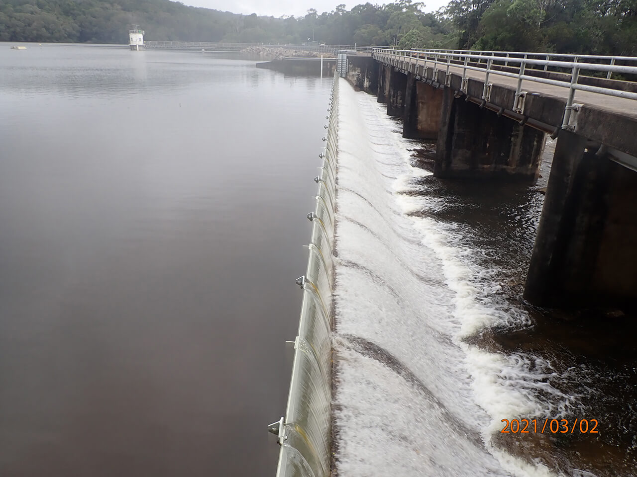
The dam is of earth wall construction, with a concrete spillway with which can yield 50ML/day of water and had an original storage capacity of 10,273ML.
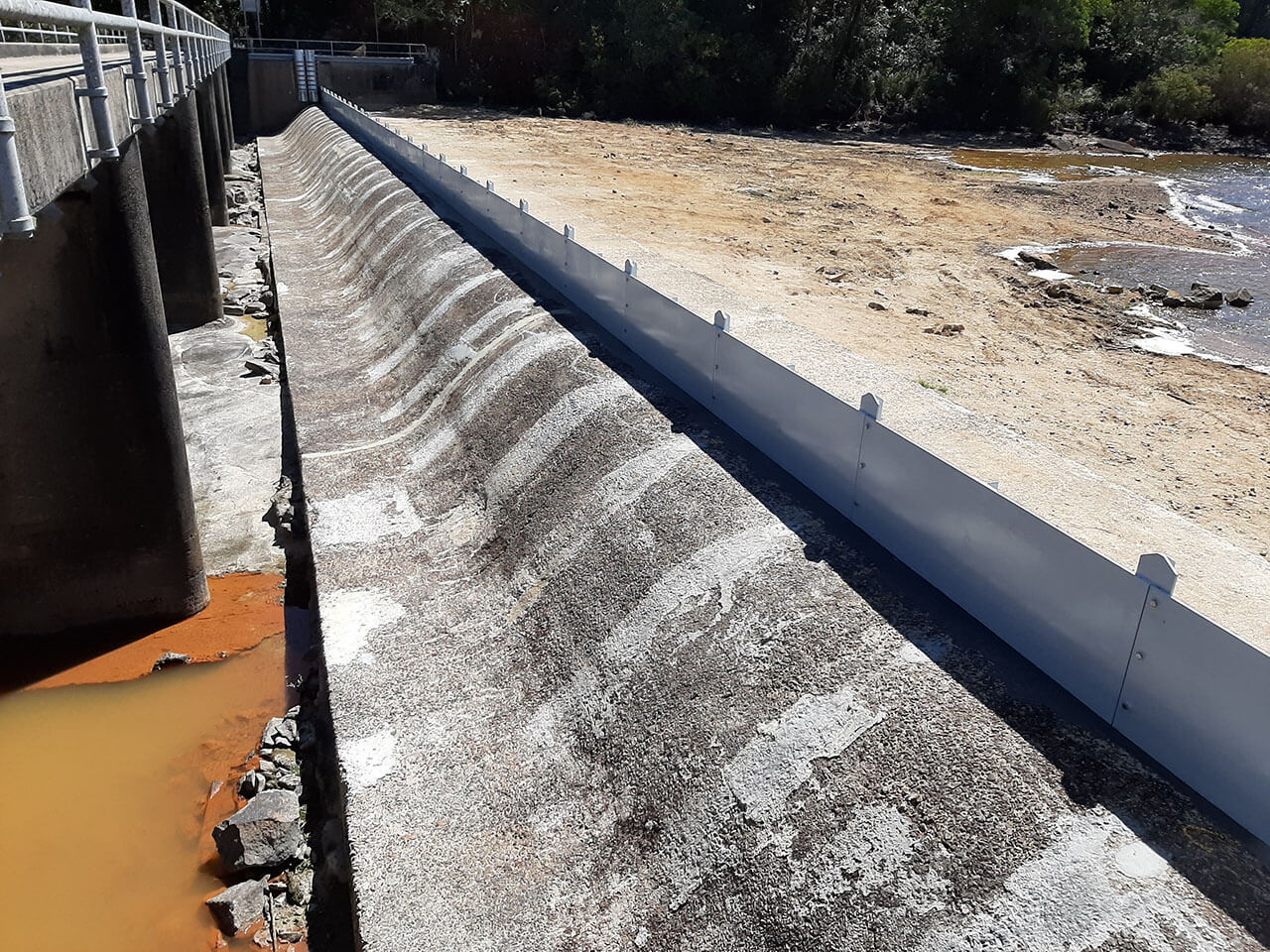
In 1975, James Cook University's Department of Engineering undertook an investigation into heightening the dam wall and spillway to provide greater water storage capacity. However, a cost-benefit analysis found this to be uneconomical, with the optimum solution being to raise the spillway 600mm by the installation of steel flashboards, increasing the dam’s capacity to 11,496ML, which was then adopted in 1981.
In 2020, the flashboards were replaced with slighter higher boards, increasing the dam’s capacity to 11,830ML.

