Aerial & Mapping Products for Purchase
Spatial Services has a range of aerial and mapping products for purchase.
Aerial Photography
Recent and historical aerial photography of Townsville and Magnetic Island is available for purchase. Aerial photographs have been captured of different areas since 1941 and some variation may occur within the areas photographed. Please check your options with our staff or view samples of areas available (including links to flightplans) below . For further details and pricing for all our aerial photography products, please see our Fees and Charges section.
Please click on a thumbnail image to view an example of each product.
Prints and copies
 | 
| 
|
|
Contact Prints* Enlargements also available | Diapositives | Mosaics* |
 |  |  |
Townsville Aerial Photo Print** 1m x 1m and 1.5m x 1.5m available | Laser Prints/Copies | Orthophoto Maps |
- Contact prints, mosaics and enlargements
- *from the original film or diapositives offer the most accurate reproduction of colour and scale. Diapositives are duplicates of the frame from the original film (the equivalent of a negative). A minimum charge applies to all aerial photo contact prints diapositives, and there is a minimum one week delivery time.
- **Other larger customised sizes also available upon request.
- Laser prints/copies of aerial photographs are available in both colour and black and white.
- Orthophoto maps are laser printed copies of aerial photographs with a scale and north arrow like conventional maps.
Digital aerial photography
 |  |  |  |
| Digital Orthophotos | Digital Mosaics .jpeg and .tiff available | Scanned Aerial Photography | Registered and Rectified Aerial Photos |
- Digital orthophotos are geo-referenced to Coordinate System GDA94 zone 55, and are available as .jgw and .tfw (georeferenced jpg and tiff formats respectively).
- Registered and rectified aerial photos - can be requested by contacting Geospatial Solutions Customer Service who will further outline the processes involved.
- Scanned aerial photographs and digital mosaics are not registered (to North) or rectified (to a coordinate system). They are available in standard .jpg and .tiff formats.
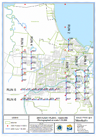
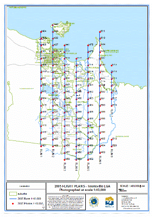
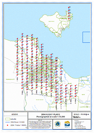
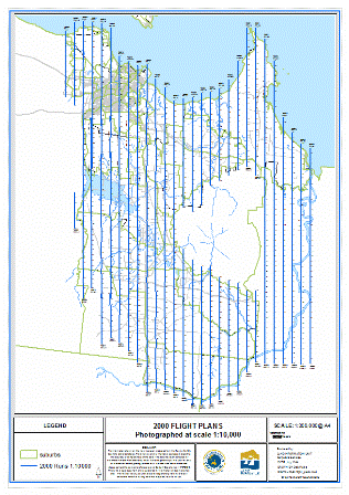
Aerial flight plans
Click on the links beneath the thumbnail to view the flight plans (runs) and centre points of photographs.

| 
| 
| 
| 
|
|
2005 - Scale 1:10,000 Flight Plan: Townsville |
2005 - Scale 1:40,000 Flight Plan: Townsville Local Government Area |
2004 - Scale 1:10,000 Flight Plan: Townsville and Magnetic Island (Bays) |
2000 - Scale 1:4,000 Castle Hill, The Strand, Rocky Springs and Woodstock (no flight plans available) |
2000 - Scale 1:10,000 Flight Plan: Townsville |

| 
| 
| 
| 
|
|
2000 - Scale 1:35,000 Townsville (no flight plan available) |
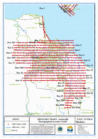
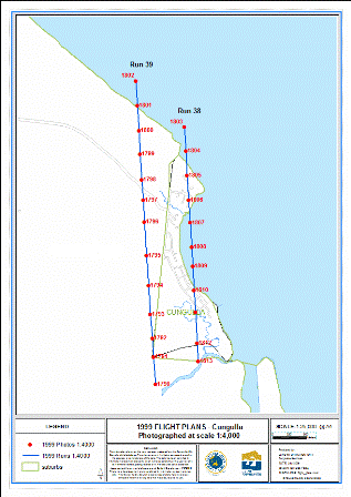
1999 - Scale 1:4,000 Flight Plans: Townsville, Cungulla |
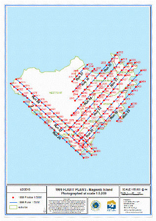
1999 - Scale 1:5,000 Flight Plan: Magnetic Island (Bays) |
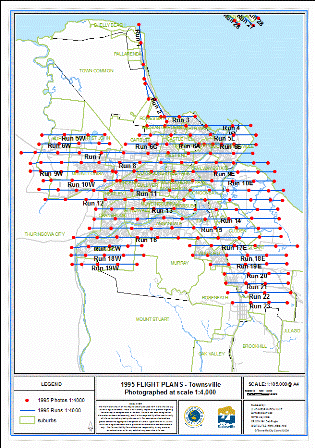
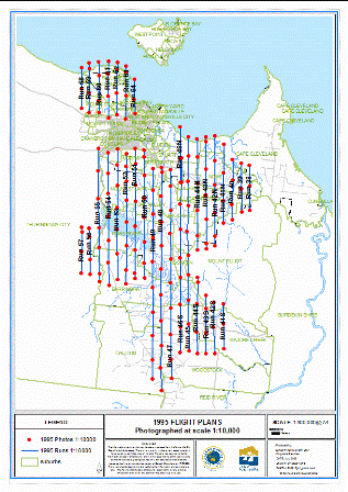
1995 - Scale 1:4,000 Flight Plans: Townsville, Cungulla and Giru |
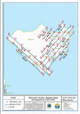
1995 - Scale 1:5,000 Flight Plan: Magnetic Island (Bays) |

| 
| 
| 
| 
|
|
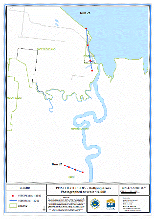
1995 - Scale 1:10,000 Flight Plan: Outlying Areas |
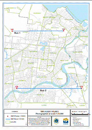
1995 - Scale 1:30,000 Flight Plan: Townsville |
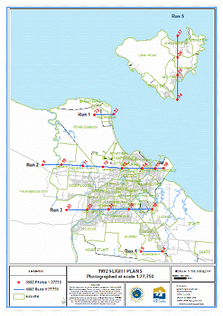
1992 - Scale 1:27,750, Flight Plans: Townsville and Magnetic Island (Bays) |
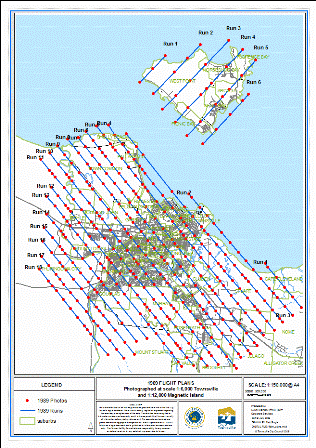
1989 - Scale 1:6,000 Flight Plan: Townsville |
1989 - Scale 1:12,000 Flight Plan: Magnetic Island |

| 
| 
| 
| 
|
|
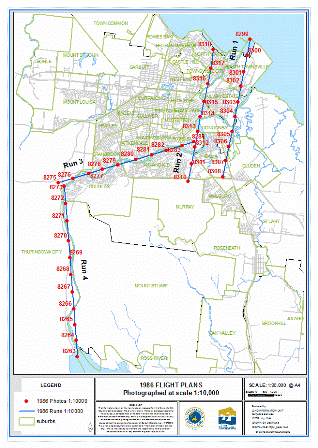
1986 - Scale 1:10,000, Flight Plan: Ross River |
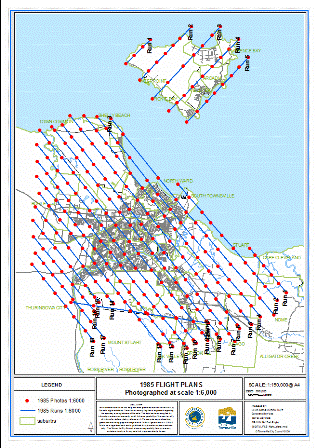
1985 - Scale 1:6,000 Flight Plan: Townsville and Magnetic Island |
1985 - Scale 1:30,000 Mt Stuart (no flight plan available) |
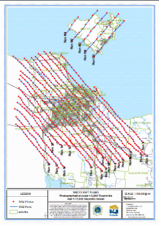
1982 - Scale 1:6,000 Flight Plan: Townsville |
1982 - Scale 1:12,000 Flight Plan: Magnetic Island |
 | 
| 
| 
| 
|
|
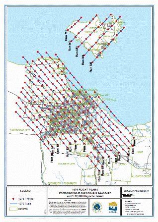
1976 - Scale 1:6,000 Flight Plan: Townsville |
1976 - Scale 12,000 Flight Plan: Magnetic Island |
1972 - Scale 1:30,000 Flight Plan: Townsville and Magnetic Island |
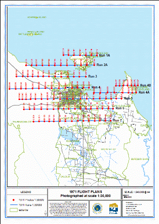
1971 - Scale 1:30,000 Flight Plan: Townsville and Magnetic Island |
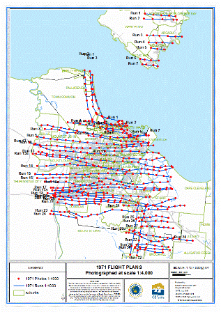
1971 - Scale 1:4,000 Flight Plan: Townsville and Magnetic Island (Bays) |

| 
| 
| 
| 
|
|
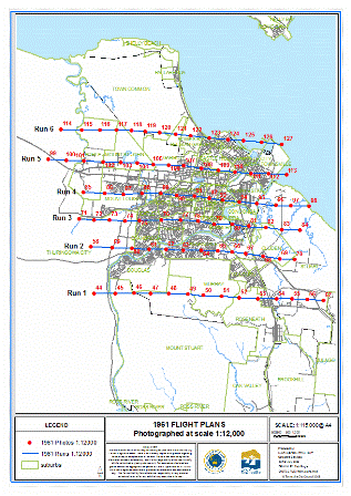
1961 - Scale 1:12,000 Flight Plan: Townsville |
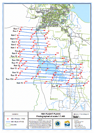
1961 - Scale 1:7,400 Flight Plan: Ross River |
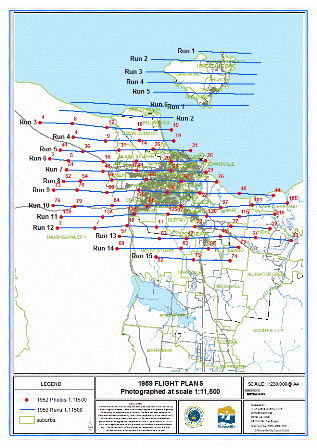
1959 - Scale 1:11,500 Flight Plan: Townsville and Magnetic Island |
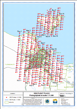
>1952 - Scale 1:11,000 Flight Plan: Townsville and Magnetic Island |
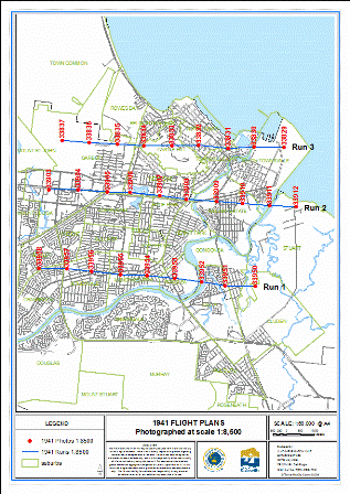
1941 - Scale 1:8,500 Flight Plan: Townsville |
For further information about Aerial Photography Products, please contact Spatial Services on 13 48 10.
Maps for Purchase
We have a wide range of contemporary and historical maps available for purchase. Please download the Schedule of Fees for further details and pricing for all our mapping products.
These maps can be obtained by contacting Council and will be available on our website in the near future.
* The City Plan 2005 and City Plan Maps can also be downloaded from Council's Townsville City Plan webpage as PDF files. The Zoning and Strategic Plan maps (which were superseded by the City Plan 2005) were only available for reference until 31 December 2006 - please contact Spatial Services for details.
** Council's cadastral database is more accurate (+/-0.1m, compared to the industry standard of +/-0.5m) and more up-to-date than any other cadastral information available for the Townsville Region.
*** We recommend purchasing the Landslip Hazard Study report (available from Planning Services) with landslip hazard maps.
For further information about Maps, please contact Spatial Services.


