Boat Ramps
Boat Ramp Locations
Townsville has a number of boat ramps available for launching your boat.
Townsville City Council is the managing authority for all of the boat ramps on this page, with the exception of the boat ramps on Sir Leslie Thiess Drive which are managed by Port of Townsville Limited.
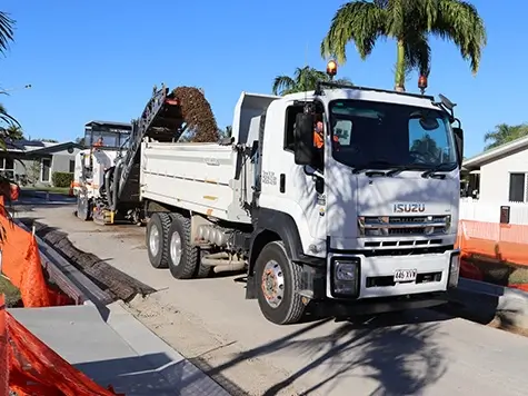
Capital Works Program
To keep Townsville growing, Council is actively involved in the delivery of projects to provide vital infrastructure and exciting development opportunities.

The Percivals 2026
The Percivals 2026 highlights the power of portraiture to capture emotion, identity and connection. From emerging artists to established names, this year’s exhibition offers a compelling snapshot of contemporary Australia.

Wintergarden Festival of Music
Pack a picnic and rug and settle in on the lawns at Queens Gardens for the Wintergarden Festival of Music.

Seniors Expo 2026
Join us at Townsville Stadium and connect with a wide range of services, organisations and local businesses supporting health and wellbeing, lifestyle and independence, social, leisure and community connections.
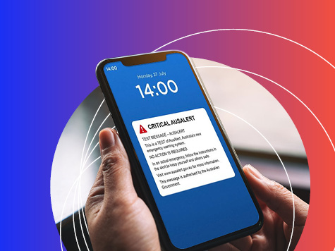
AusAlert National Test
AusAlert will be ready to use in October, but before it launches, the system needs to be tested across Australia. On Monday 27 July 2026 at 2pm, a test alert will be sent to your mobile device.