Traffic Model
The Townsville Aimsun Integrated Model ( TAIM ) is a city-wide mesoscopic model and is Council’s primary planning tool for the analysis of proposed improvement options, upgrades, and interventions on the road network to support growth identified in the Local Government Infrastructure Plan (LGIP).
The TAIM is calibrated annually against traffic signal information provided by the Department of Transport and Main Roads and provides detailed traffic flow information across the entire city for the calibration year and future year projections in 2026, 2031, 2036 and 2041. The TAIM is also used to assess the impacts of land development proposals on the operation of the Townsville road network.
Model information comprising traffic flow data can be provided by Council upon request, Council encourages the use of this data when submitting a development application for assessment as the modelled traffic flows represent the planned future network structure in accordance with the LGIP .
Model Outputs
Model outputs can be accessed using the following links:
Limitations
The following limitations apply to the Traffic Model:
- The TAIM is an imperfect representation of traffic information on the road network in the calibration year. The traffic model has been developed using Aimsun traffic modelling software and provides an interpretation of the traffic conditions limited by the modelling processes.
- The model has been calibrated against traffic flow data recorded by vehicle detection equipment at 148 signalised intersections comprising 2175 detection counts, and approximately 150 traffic count sites located across the city.
- Model accuracy at any particular location is relative to how close the location is to a calibration point in the model. At a calibration point the model replicates the traffic flows at that location, for example, at a signalised intersection the model flows and the data recorded by the signals will match in the calibration year. Between calibration points the model becomes less accurate and a process called Dynamic User Equilibrium ( DUE ) is used to estimate traffic flows based on travel time algorithms.
- Townsville City Council accepts no responsibility for damages, if any, suffered by any party because of decisions or actions made based on data extracted from the model.

What's On Townsville
What's On Townsville is the North's Ultimate Event Guide! Browse performing and visual arts, children's activities, music, film, festivals, markets, sporting events and more.
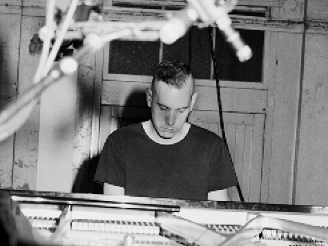
Josh Cohen: Radiohead for Solo Piano II
Josh Cohen brings his acclaimed solo‑piano reinterpretations of Radiohead to Townsville Civic Theatre, transforming the band’s iconic songs into dynamic, innovative piano works - book now!

Capital Works Program
To keep Townsville growing, Council is actively involved in the delivery of projects to provide vital infrastructure and exciting development opportunities.
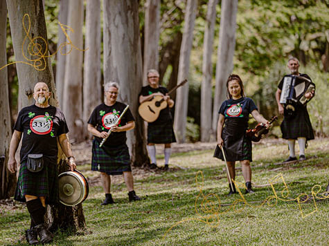
Morning Melodies: A Celtic Singalong
A Celtic Singalong with 33 1/3 brings a feel‑good Morning Melodies session to Townsville Civic Theatre, featuring lively Irish tunes and contemporary folk favourites to sing along to and reminisce - book now!

Career Change? Apply Now!
Explore current vacancies and take a step towards your next career! Join us to build a city of the future.